Evolution Space launches Kate-3 into space!
|
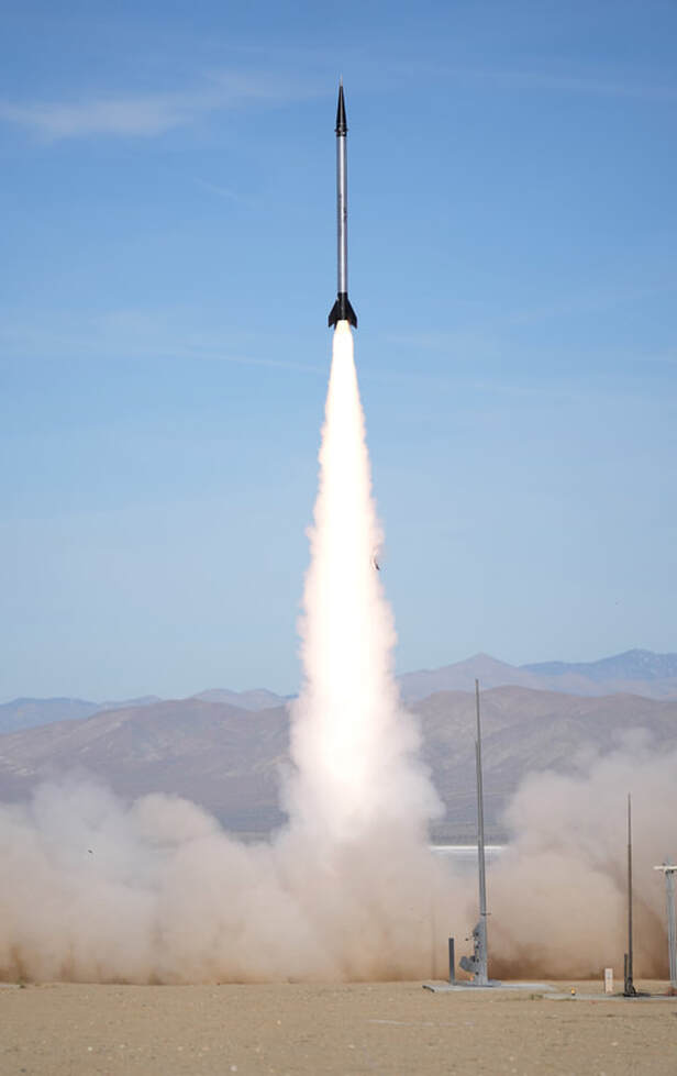
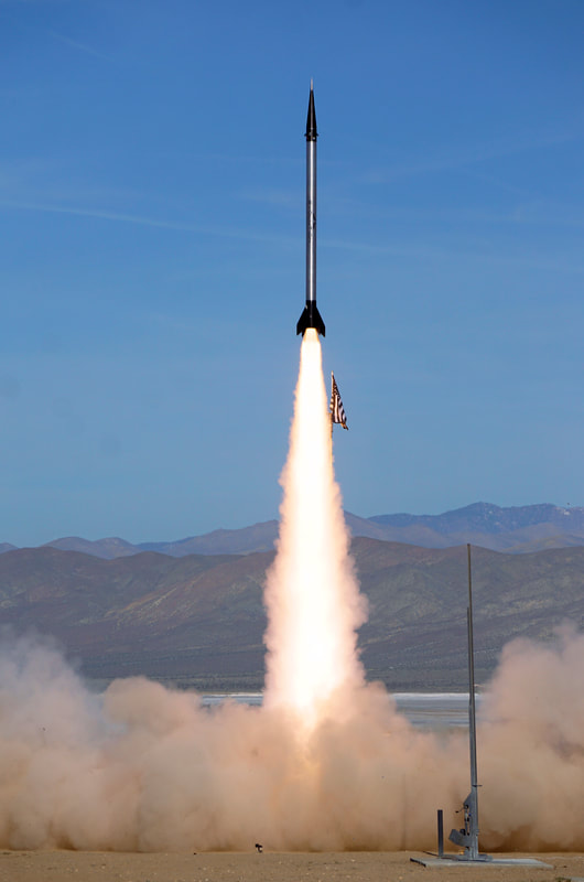
Evolution Space launched the Kate-3 TelemetryPro tracking system into space on April 22, 2023. The rocket named Gold Chain Cowboy reached apogee at 408,456 feet above ground level. This is 15 miles higher than the Karman line which is the internationally recognized boundary of space.
The rocket was a single stage solid propellant full S motor and reached a maximum speed of Mach 5.2. It was 21 feet long, 10" in diameter and weighed 900 pounds on the pad. It was launched from the Mojave desert in California. Two redundant Kate-3 systems controlled all flight operations including launch, de-spin, deployments, GPS tracking and telemetry downlink. There was a solid telemetry downlink from both Kate-3 systems during the entire flight. The unlimited altitude GPS in both Kate-3 systems also worked perfectly and captured an accurate apogee altitude. The altitude was well above the operating limit of all other GPS systems available for amateur and hobby rocketry. Unfortunately, the flight experienced a drogue parachute anomaly that resulted in a higher than expected landing velocity. Evolution Space recovered the vehicle hardware and is analyzing the failure. Nevertheless, this was a spectacular launch to watch and to listen to Kate report the progress of the flight in real time as it happened. Mission Name: Gold Chain Cowboy
Motor: Full S motor. Motor Size: 10" diameter x 14 feet long Rocket Size: 10" diameter x 21 feet long Weight: 900 lbs Max altitude: 408,456 feet (above ground level) Max velocity: 5.20 Mach Max acceleration: 20.3 G's Burn time: 12.6 sec Burnout altitude: 37,751 feet Time to apogee: 2 min 47.2 sec Liftoff: 15:10:34.0 UTC |
|
Launch Video
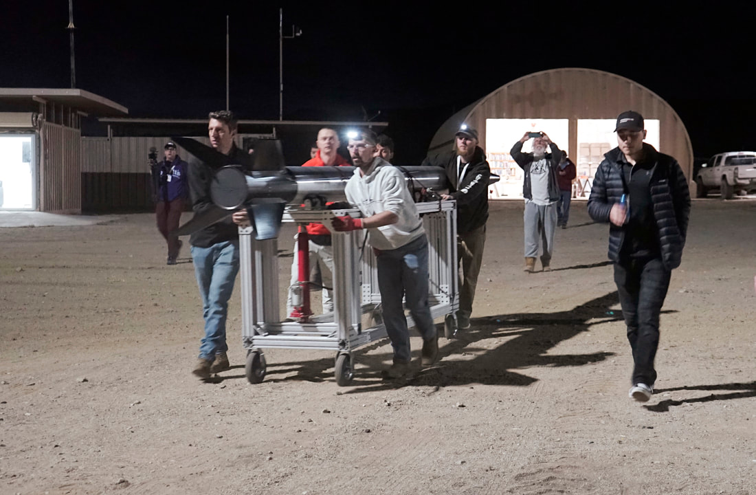
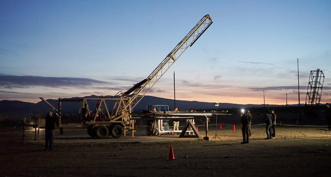
Besides the launch itself, this video shows some of the activity behind the scenes before the launch. Launch operations started at 4:00 am for the scheduled 8:00 am launch. That's why some of the setup was in the dark.
|
|
|
Pad Cam Video
This video is from a fixed camera positioned near the launch pad. There is not much to see after the rocket launches but it captured the full Kate audio all the way to apogee. Kate was connected into the PA system so that everyone could hear it. You can also hear lots of cheering in the background as key milestones were reached.
|
|
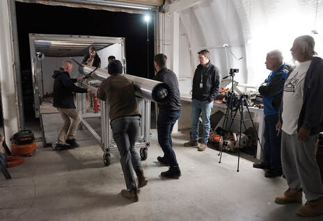
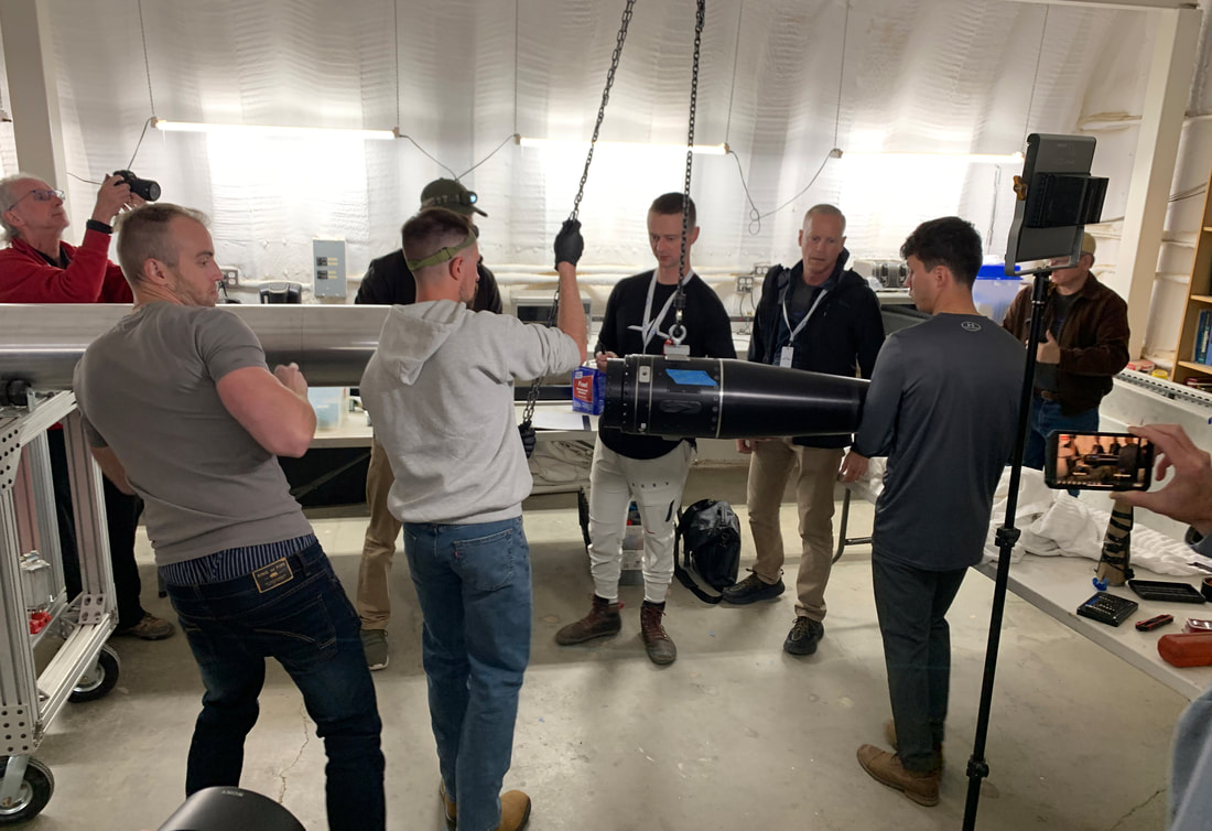
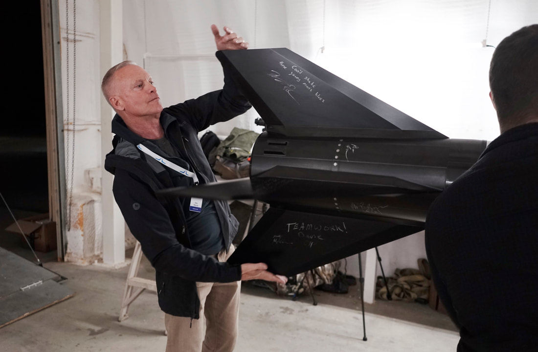
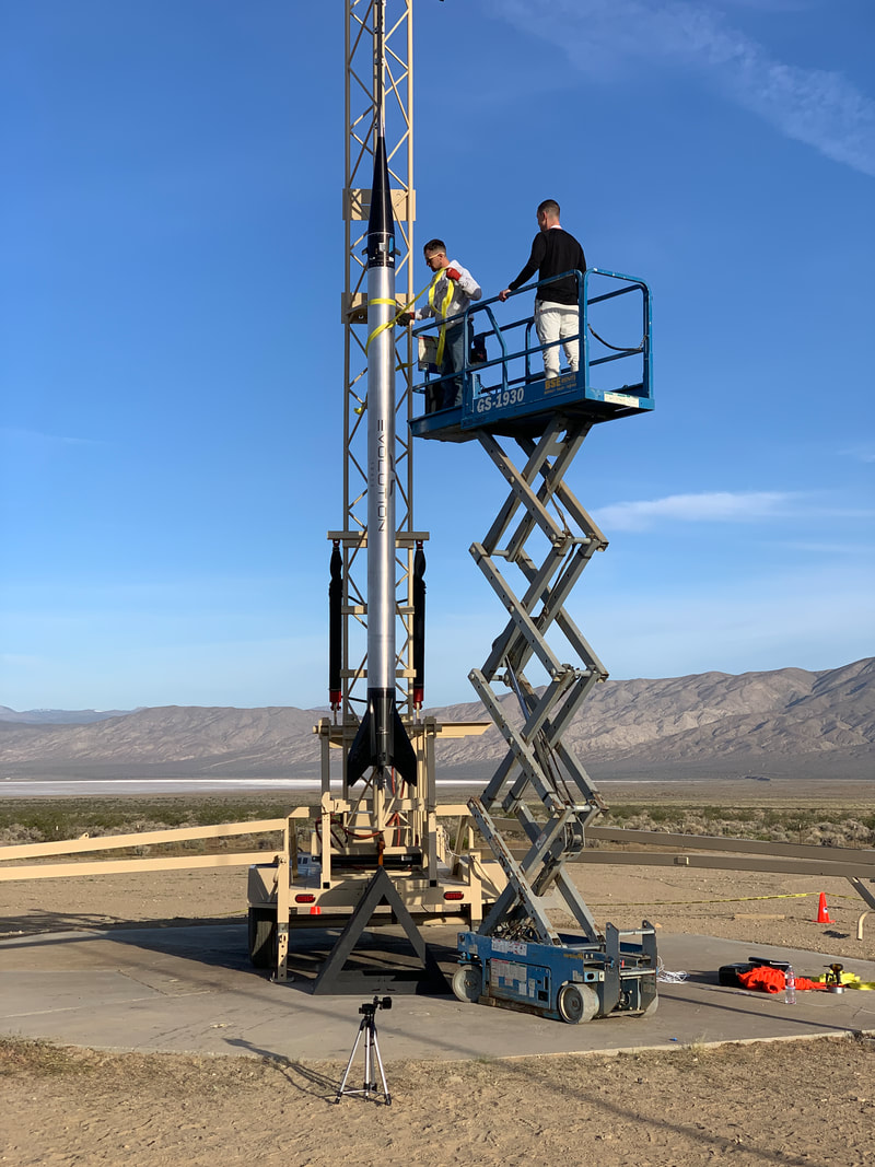
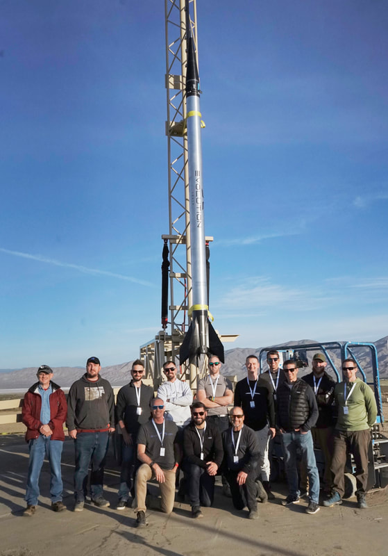
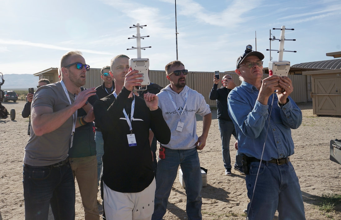
Launch Prep Photos
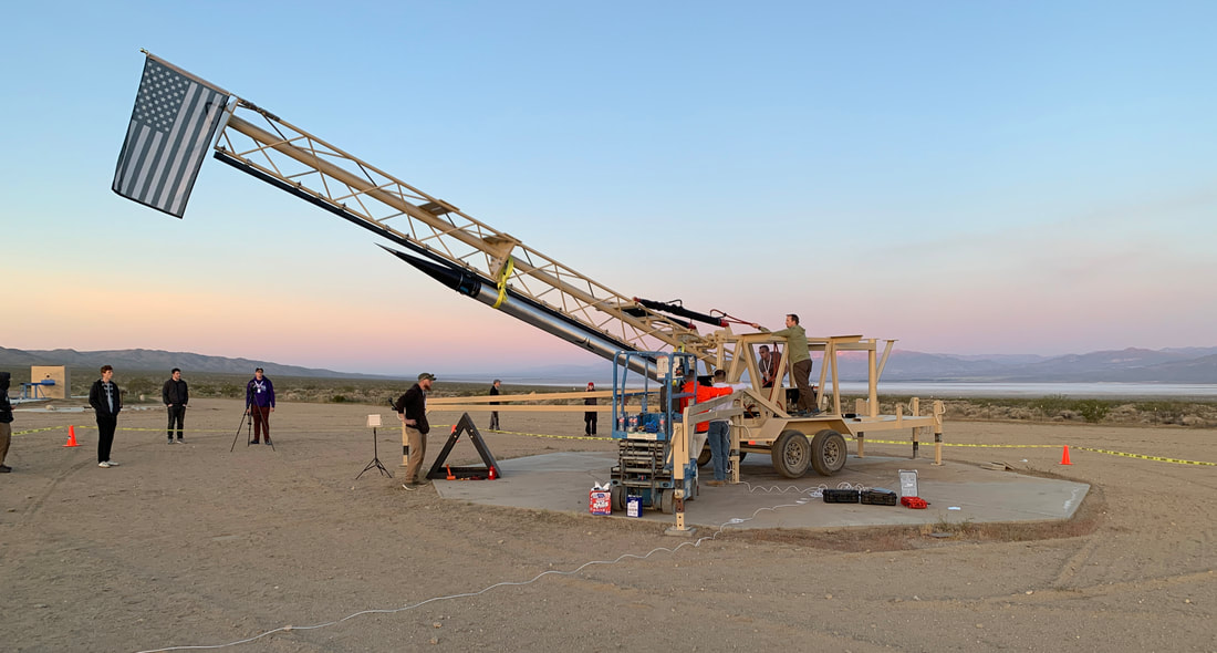
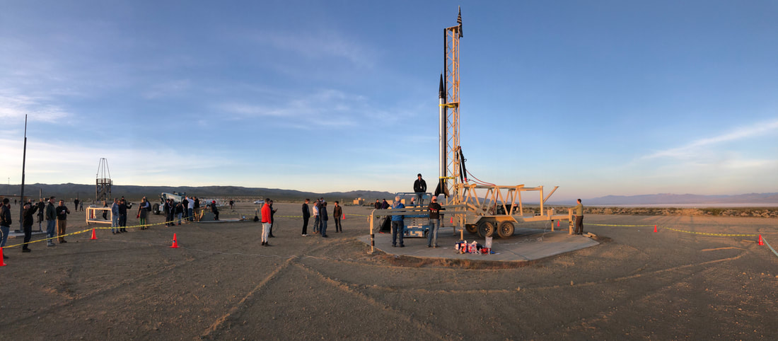
Photos above are by Peter Thoeny, Bill Schworer, and Vern Knowles. Copyright 2022. Peter Thoeny is at Quality HDR Photography
Flight Trajectory
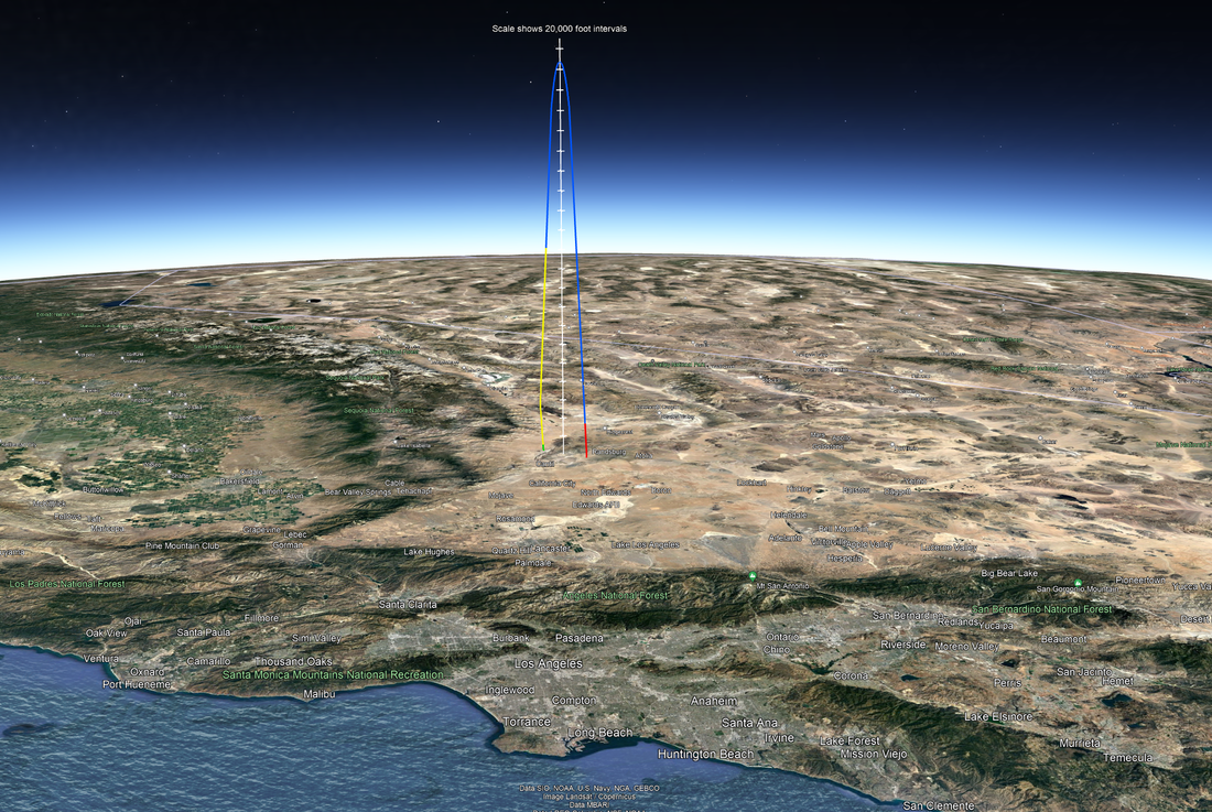
The image below is the flight trajectory recorded by the Kate-3 GPS. It is a Google Earth view looking north toward the launch site in the Mojave desert in California. The pacific ocean and the entire Los Angeles metropolitan area is in the foreground. The curvature of the earth can be seen in the background. The white line with tic marks is drawn from apogee straight down to the ground. The tic marks are 20,000 feet apart. The total height of the trajectory was 408,456 feet which is over 77 miles high!
|
Red indicates booster motor burn.
Blue shows the coast phase. |
Yellow is the descent phase on drogue parachute.
Green is the descent phase on the main parachute. |
|
Google Earth File
|
|
Download this Google Earth file to zoom in or view the flight trajectory from any angle. You will need to have Google Earth installed on your computer to view this file.
| ||||||
|
Avionics
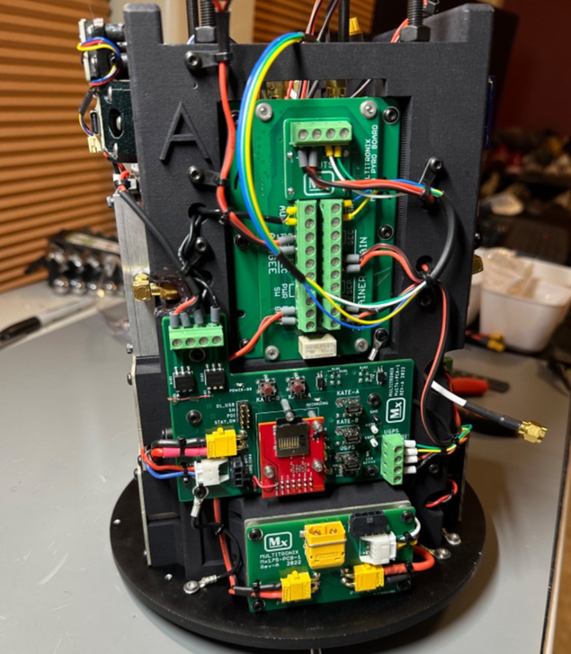
The avionics package was a 3D printed, four sided structure, that had various circuit boards and other electronic modules mounted onto each of the four sides. This provided easy access for wiring everything together.
For redundancy, there were two independent Kate-3 systems used in this design. Both functioned perfectly throughout the entire flight. This view shows one side of the avionics package. One of the two Kate-3 transmitters (with the pyro board option) is mounted on the upper half of it. Two other custom PC boards that handle other functionality are mounted on the lower half of it. |

