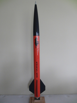
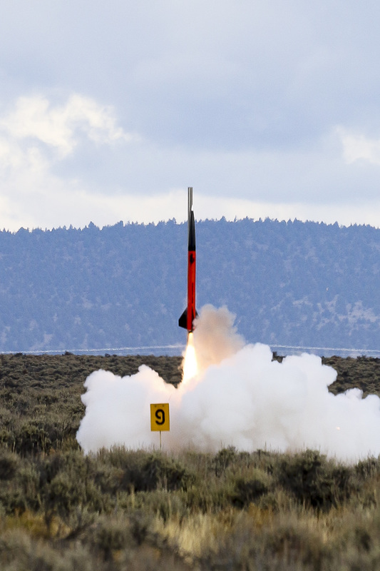
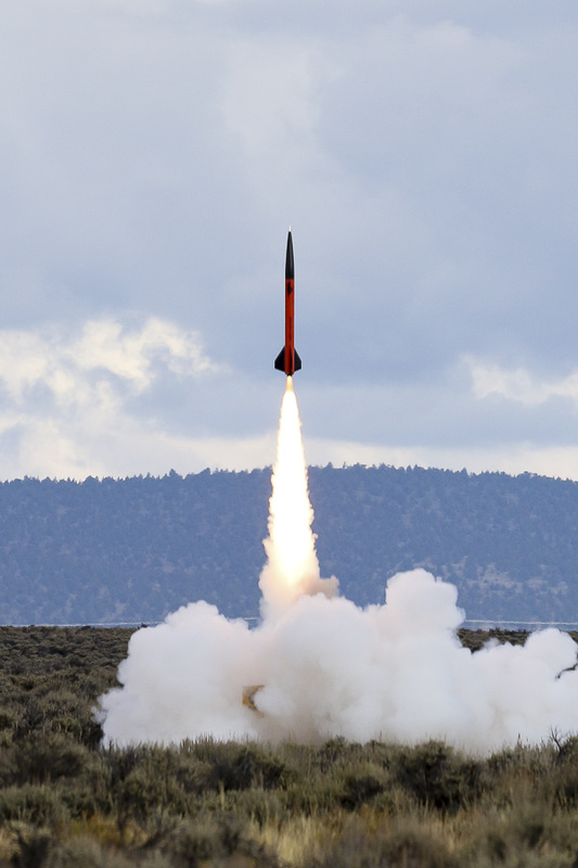
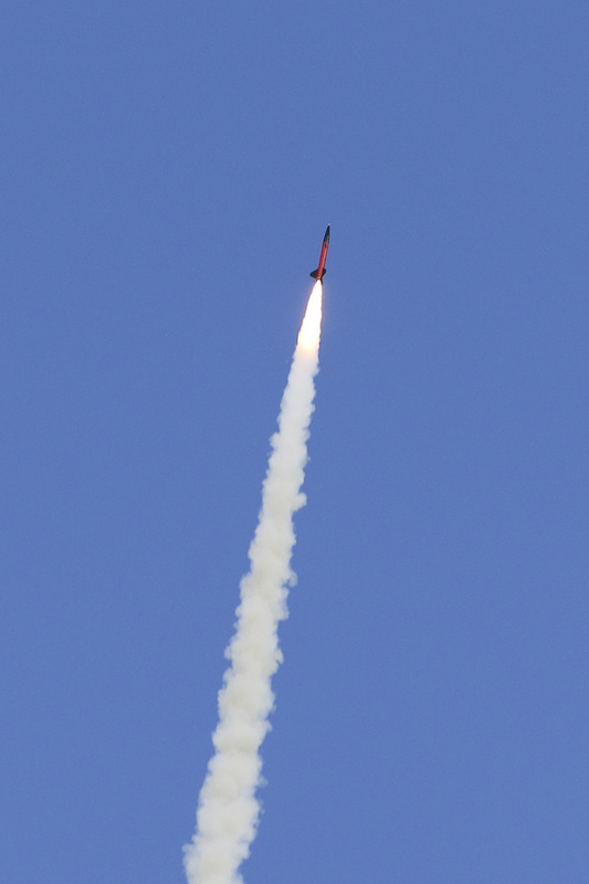
Paul Bogdanich has a successful L3 cert flight to over 16,000 feet
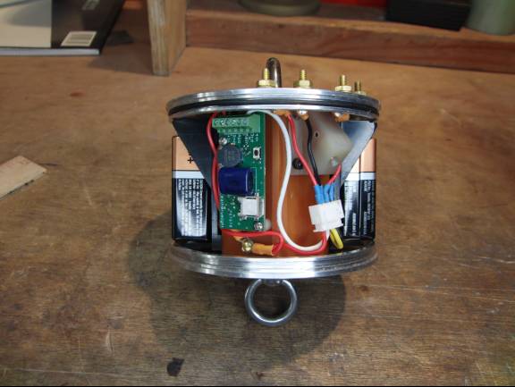
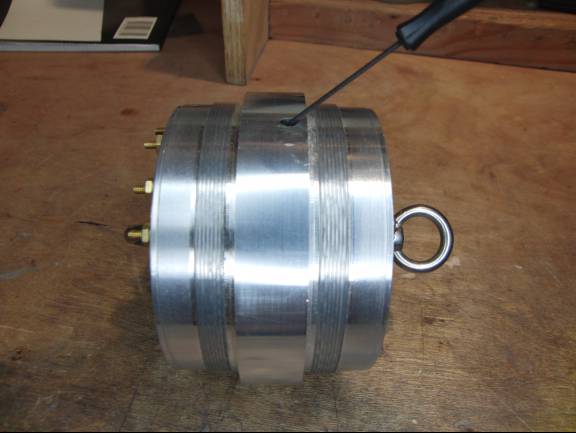
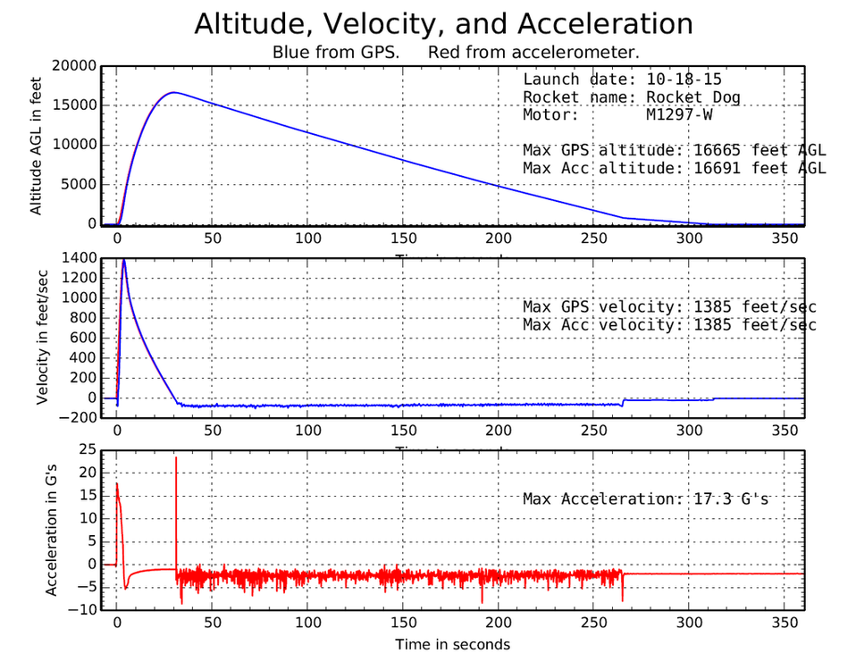
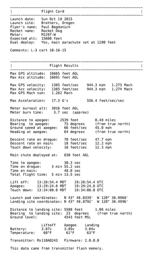
Paul Bogdanich flew the TelemetryPro tracking system to over 16,000 feet on Oct 18, 2015 at the OROC Rocketober launch held near Brothers Oregon. This was his level-3 certification flight and it was a perfect flight! It was successfully tracked all the way up and down and safely recovered.
|
Photo courtesy Paul Bogdanich
|
Kate's Flight Commentary
Press play to listen to the flight commentary delivered by Kate in real time during this flight. |
|
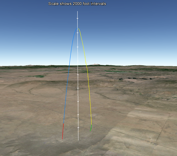
Google Earth Flight Trajectory Red shows the duration of the motor burn.
Blue shows the coast phase. Yellow shows descent on drogue parachute. Green shows descent on main parachute. Download the Google Earth file and you will be able to view the trajectory from any angle. It gives a nice virtual 3D view of the entire flight.
Note: You will need to have Google Earth installed on your computer to view the file. |

