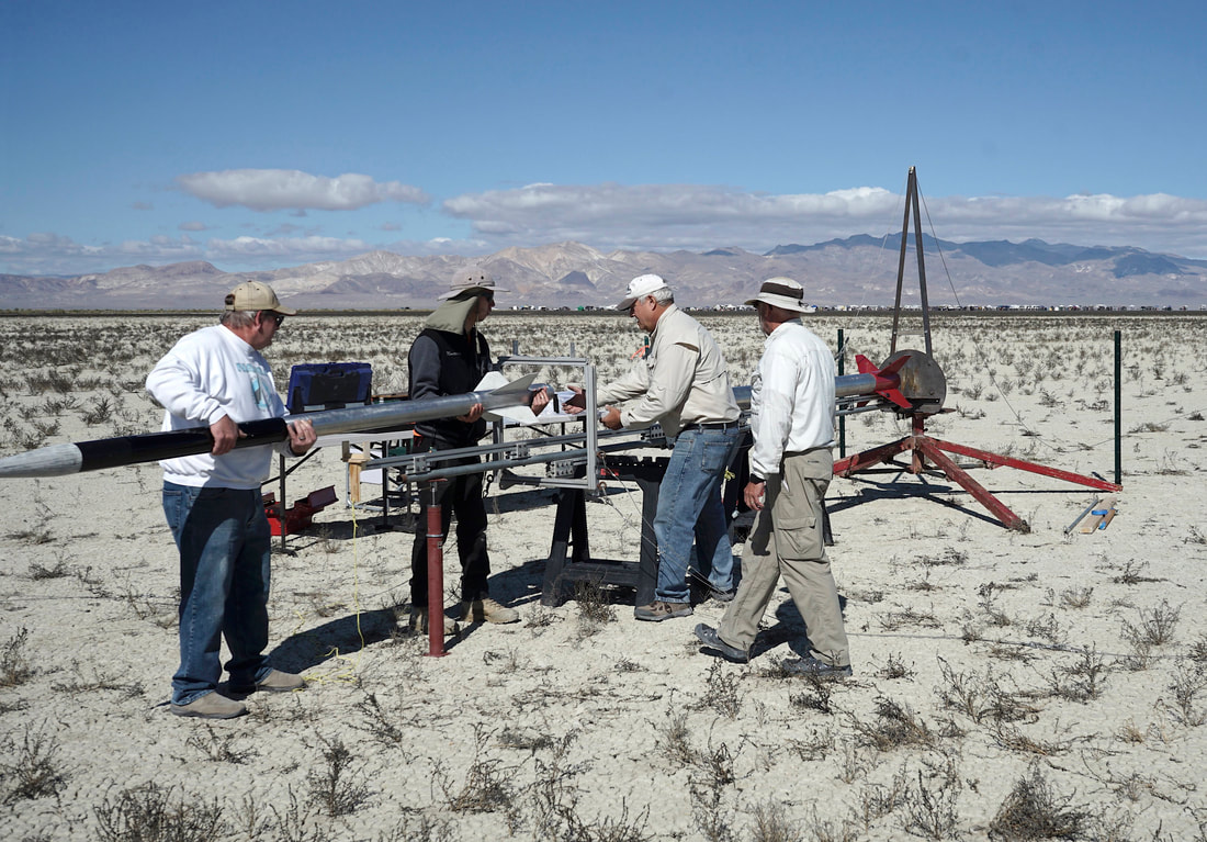
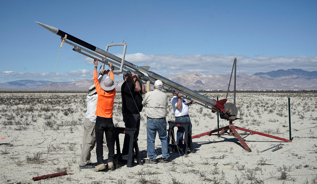
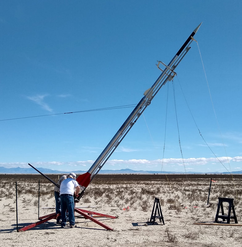
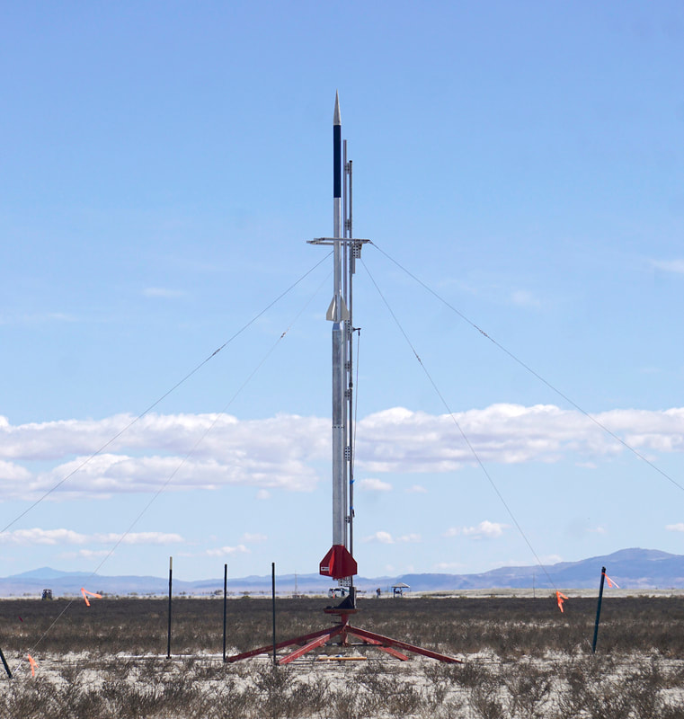
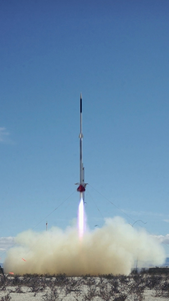
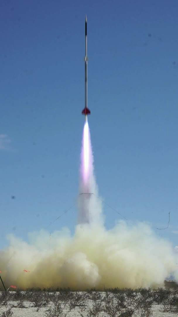
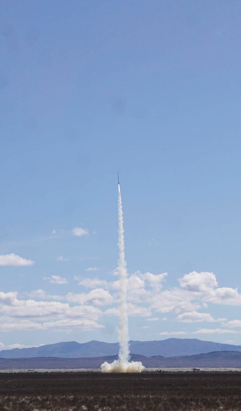
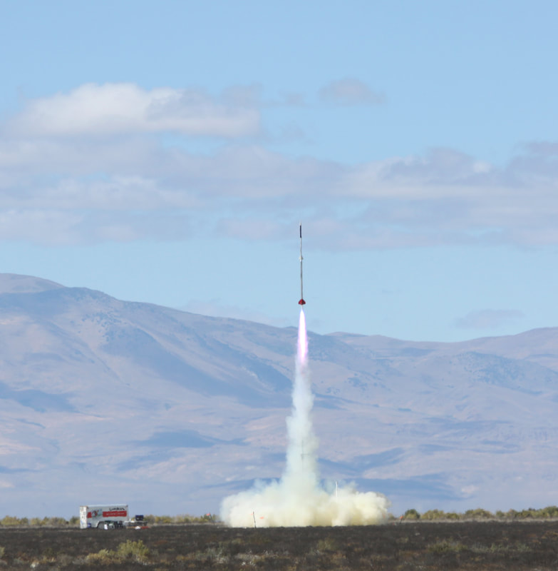
Successful two-stage flight to over 142,000 feet!
Jim Jarvis, Stu Barrett and Jerry McKinlay flew the Kate 2.0 TelemetryPro tracking system to over 142,000 feet in their two-stage "SVJ2" rocket at the BALLS-28 launch held at the Black Rock desert in Nevada on Sept. 21, 2019. The Kate 2.0 system controlled all flight operations including staging, deployment, GPS tracking and telemetry downlink. It was an outstanding flight! It reached Mach 3.66. The flight was safely recovered 9.1 miles from the launch pad.
|
Rocket Name: "SVJ2"
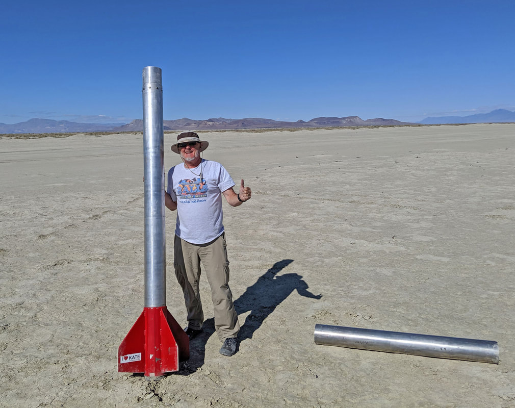
Booster motor: P8535 (76 lbs propellant, 6" diameter) Sustainer motor: O6061 (28 lbs propellant, 4" diameter) Length: 22.4 feet Max altitude: 142,109 feet (above ground level) Max velocity: 3.66 Mach Max acceleration: 27.2 G's Main parachute deployment: 3000 feet Landing site: 9.1 miles from the launch pad Total flight time: 10 minutes, 17 seconds |
Press play to listen to Kate's commentary generated during this flight.
Please note: The telemetry downlink signal was lost shortly after sustainer ignition until it reached 133,000 feet. This created a 45 second gap of silence in the audio being generated by the receiver. That gap has been removed from this audio playback just to make it more convenient to listen to. That is why the playback seems to go from 26,000 feet to 133,000 feet in such a short period of time! |
|
|
Onboard Flight Video Jim Jarvis created this video by overlaying the Kate audio track onto the video recorded from the rocket during flight. It’s kind of long, but there is content all the way through, so look at as much of it as you can.
|
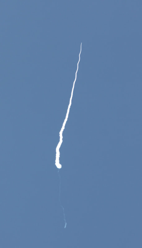
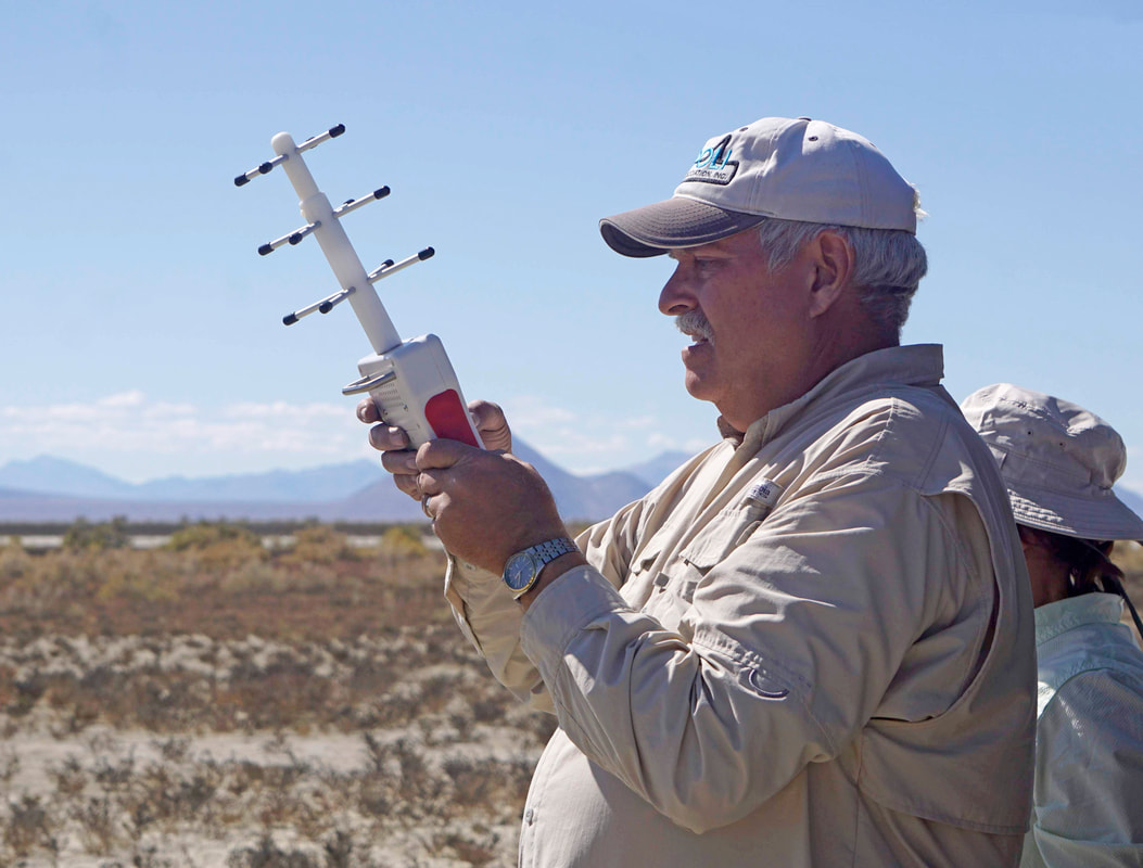
All photos above are by Peter Thoeny at Quality HDR Photography
|
Flight Trajectory
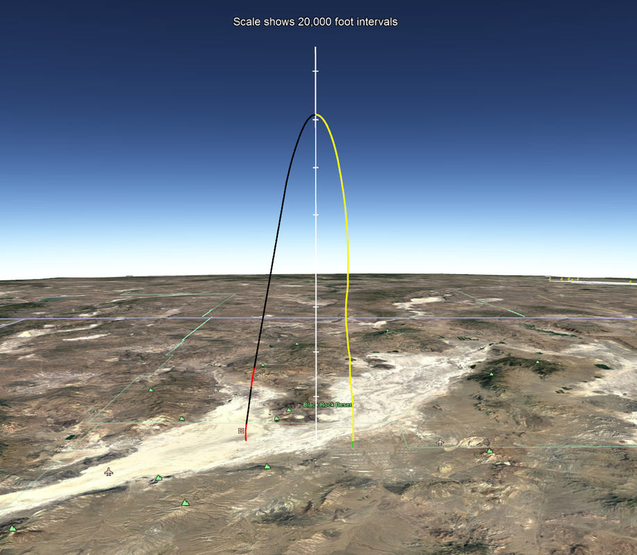
This image shows the flight trajectory recorded by the Kate 2.0 GPS. It is a Google Earth view looking due north at the Black Rock dry lake bed in Nevada.
Red indicates motor burn. Black is coast phase. Yellow is descent on drogue. Green is descent on main parachute. Notice how short the two motor burns are compared to the distance it coasted to reach apogee! Also notice the very short green section right near touchdown when it deployed the main parachute at 3000 feet. It landed 9.1 miles from the launch pad.
Download this Google Earth file to see a nice virtual 3D view of the entire flight from any angle.
Note: You will need to have Google Earth installed on your computer to view this file. | |||||||
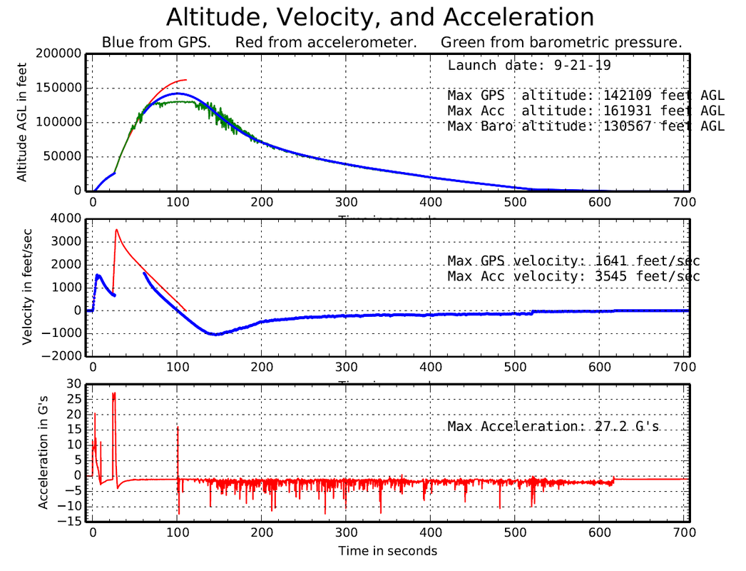
Note: This flight exceeded the maximum velocity limit for the GPS. (1641 feet/sec.) Consequently, the GPS suspended the velocity and altitude readings and did not resume reporting them again until the velocity dropped back down below the limit. The TelemetryPro system has an accelerometer on-board and therefore can measure and report velocities higher than the GPS limit. The accelerometer reported the max velocity to be 3545 feet/sec. That is Mach 3.66 at 32,000 feet where it occurred.
|
Flight Summary Report
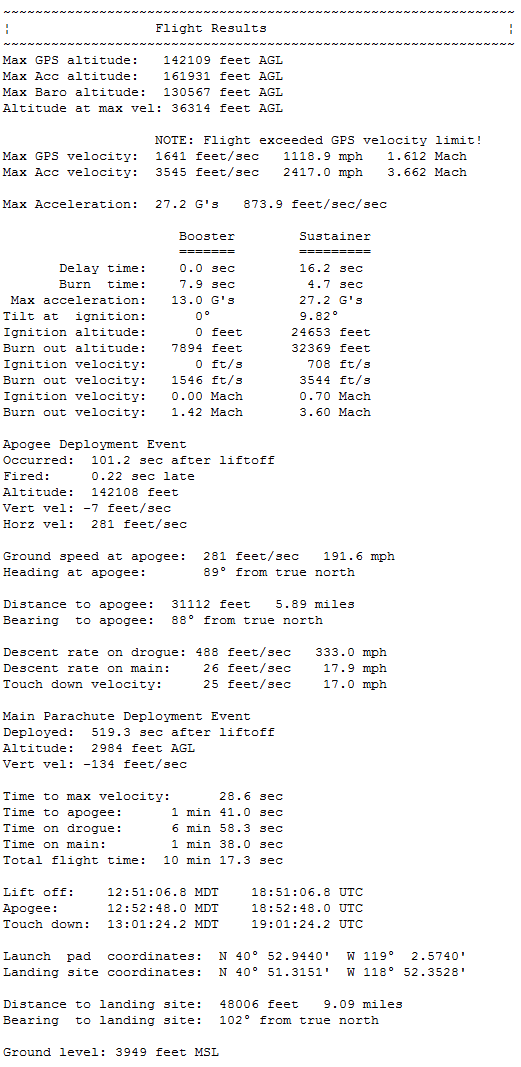
The complete flight summary report that was generated by the Flight Data Analyzer software can be downloaded using the button below. It includes a whole series of plots showing various details of the flight.
|

